

Mapping Services
GIS Mapping
AxisStream’s Geographic Information System (GIS) mapping service allows landowners and managers to create a digital twin of their properties. This user-friendly platform simplifies planning for capital expenditures and maintenance projects by providing a comprehensive view of farm layouts and associated assets.
High-Resolution Satellite Imagery: Identify and map key assets such as fences, water tanks, sheds, and homesteads.
Asset Tagging: Tag each asset with essential details like type, build date, capacity, and notes, creating a searchable and exportable asset register.
Elevation Analysis: Determine optimal layouts for infrastructure like fence lines, water pipelines, pumps, and tanks.
Remote Sensing Analysis
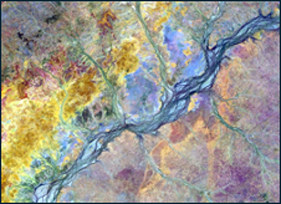
With AxisStream’s remote sensing tools, users can assess farm health and performance using satellite-based vegetation and water imagery. This analysis provides valuable insights into pasture growth potential, long-term carrying capacity, and the impact of environmental events like fires and droughts.
Historical and Comparative Analysis: Apply long-term satellite data to evaluate farm performance against neighboring or similar land areas.
Data-Driven Decision-Making: Empower land managers with actionable insights for sustainable farm management.
Regional Reporting Tool
For stakeholders managing extensive land holdings, AxisStream offers a multi-farm GIS mapping service. This tool is ideal for semi-government and commercial entities seeking to monitor and analyze large-scale agricultural operations.
Comprehensive Land Monitoring: Track and manage multiple farms within a single platform.
Advanced Analytics: Generate detailed reports for better decision-making and resource allocation.